|
|
WHMSI en Español...
Back...
WHMSI is building
country capacity to conserve and manage migratory wildlife. It improves
hemispheric communication on conservation issues of common interest,
provides training in priority areas, strengthens the exchange of
information needed for informed decision-making, and provides a forum to
address emerging issues such as new threats to migratory species, or the
connections between wildlife disease and human diseases.
|
|

Climate
change adaptation workshop for shorebird conservation in the
Southern Cone
October
21-24 of 2009
Agenda

|
|
|
MANOMET is one of the nation's oldest independent environmental
research organizations, working to achieve a more sustainable
future.
The
Western Hemisphere Shorebird Reserve Network (WHSRN) is a
hemispheric alliance of conservation, business, community, and
government organizations united to protect over 22 million acres
of wetlands and the wildlife and human communities that are
dependent on them.
|
 During
the Capacity building initiative developed on Rio Gallegos,
Argentina, representatives from the four WHSRN sites in the Southern
Cone met. 33 attendees from four places of the south cone belonging
to
San Antonio Oeste, Río Gallegos, Reserva de la Costa
Atlántica de Tierra del Fuego
in
Argentina,
partners of Península Valdés, Argentina (site to be nominated in the
near future as a WHSRN Site of Regional Importance) and
Bahía Lomas, Chile. During
the Capacity building initiative developed on Rio Gallegos,
Argentina, representatives from the four WHSRN sites in the Southern
Cone met. 33 attendees from four places of the south cone belonging
to
San Antonio Oeste, Río Gallegos, Reserva de la Costa
Atlántica de Tierra del Fuego
in
Argentina,
partners of Península Valdés, Argentina (site to be nominated in the
near future as a WHSRN Site of Regional Importance) and
Bahía Lomas, Chile.
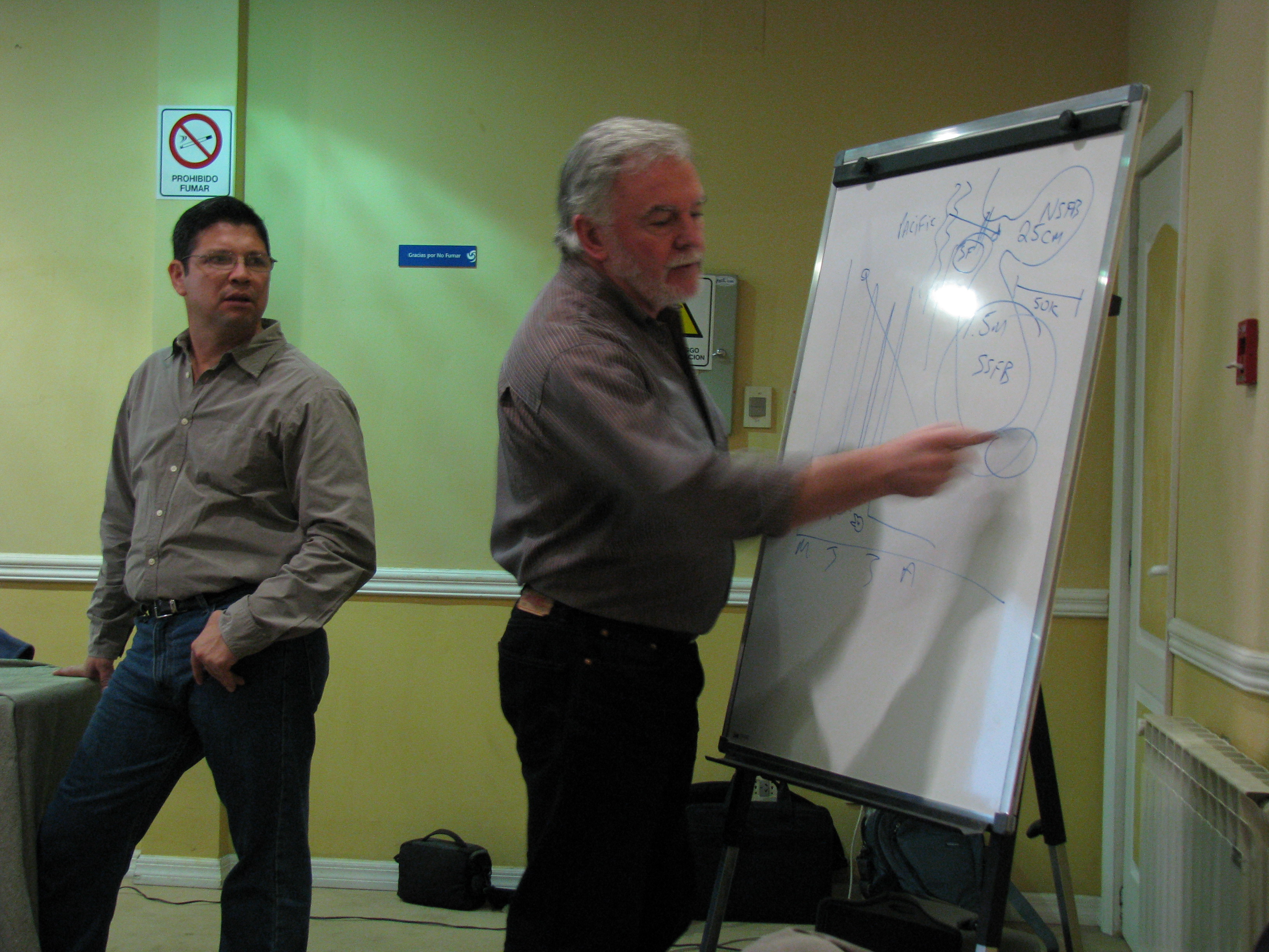
The
workshop was made possible thanks to the
OAS/FEMCIDI fund through the
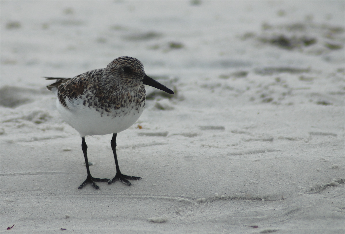
WHMSI initiative. During the capacity building activity developed last
year in Argentina 33 participants gathered to discuss about the impacts
of climate change on shorebirds and to figure best ways of deal with
this relevant natural issue. The agenda’s main point was to capacitate
people in the uses of simulation sceneries tools to implement those as
alternatives to the adaptation and mitigation of climate change
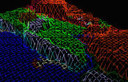
This workshop
has come up with a very useful summary of experiences and exchanges of
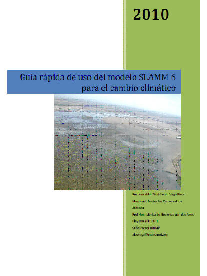
ideas. Part of the main outputs is The SLAMM a toll that simulates (maps and predictions)
the mainstreams of conversion process of wetlands and coast; as well as
consequences of the side level rise on these areas.
For more information
please follow the links below the picture

|